Map of France

La Chapelle-Montabourlet photos


Find a town, a zip code,
a department, a region... in France
I like Map-France.com !


La Chapelle-Montabourlet pictures


Here are the photos of the town of La Chapelle-Montabourlet and nearby towns. La Chapelle-Montabourlet is located in the department of Dordogne in the region of Aquitaine. You will find the satellite map of La Chapelle-Montabourlet under these photos.

To see photos of nearby towns of La Chapelle-Montabourlet, you can try the following links :
   - Photos of Cercles (24320) : town located at 3.02 km
   - Photos of La Tour-Blanche (24320) : town located at 3.26 km
   - Photos of Léguillac-de-Cercles (24340) : town located at 3.98 km
   - Photos of Vieux-Mareuil (24340) : town located at 4.95 km
   - Photos of Chapdeuil (24320) : town located at 5.71 km
   - Photos of Bourg-des-Maisons (24320) : town located at 6.47 km
   - Photos of Mareuil (24340) : town located at 6.49 km
   - Photos of Monsec (24340) : town located at 6.50 km
   - Photos of Gout-Rossignol (24320) : town located at 6.55 km
   - Photos of Cherval (24320) : town located at 6.83 km
   - Photos of Saint-Just (24320) : town located at 7.09 km
   - Photos of Paussac-et-Saint-Vivien (24310) : town located at 7.78 km

 - photos of the department prefecture of Dordogne : photos of Périgueux
 - pictures of others cities of Dordogne : Dordogne


To see La Chapelle-Montabourlet from the sky, here is the satellite map of the town of La Chapelle-Montabourlet : La Chapelle-Montabourlet map.

I like La Chapelle-Montabourlet !


Photos of the town of La Chapelle-Montabourlet

These photos taken near the town of La Chapelle-Montabourlet can be shown in full screen clicking on the thumbnails. Photos are copyrighted by their owners.

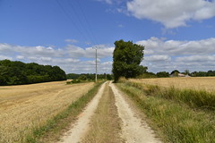
Vers l-arbre cubique - Photo of La Chapelle-Montabourlet
Vers l-arbre cubique

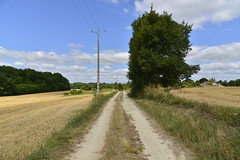
l-arbre cubique - Photo of La Chapelle-Montabourlet
l-arbre cubique

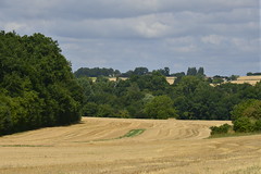
Champs de foins et bois - Photo of La Chapelle-Montabourlet
Champs de foins et bois

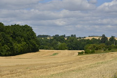
Entre champs de blé après moisson et de maïs - Photo of La Chapelle-Montabourlet
Entre champs de blé après moisson et de maïs

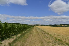
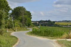
Chemin entre végétation et champs de maïs - Photo of La Chapelle-Montabourlet
Chemin entre végétation et champs de maïs

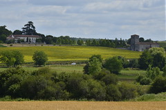
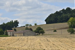
L-église médiévale et le château de la Ligerie - Photo of La Chapelle-Montabourlet
L-église médiévale et le château de la Ligerie

Les mêmes bâtiments avec l-éclaircie vers moi - Photo of La Chapelle-Montabourlet
Les mêmes bâtiments avec l-éclaircie vers moi

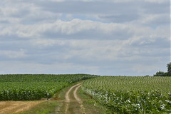
Chemin entre champs de maïs à l-ombre d-un nuage - Photo of La Chapelle-Montabourlet
Chemin entre champs de maïs à l-ombre d-un nuage

Chemin rocailleux - Photo of La Chapelle-Montabourlet
Chemin rocailleux

Double zigzag - Photo of La Chapelle-Montabourlet
Double zigzag

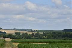
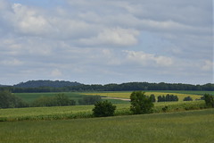
Champs et prairies à l-ombre des nuages - Photo of La Chapelle-Montabourlet
Champs et prairies à l-ombre des nuages

Ballots de foin sous une éclaircie - Photo of La Chapelle-Montabourlet
Ballots de foin sous une éclaircie

Contrastes entre au soleil et à l-ombre - Photo of La Chapelle-Montabourlet
Contrastes entre au soleil et à l-ombre

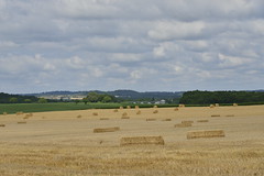
Ballots de foin sous un ciel nuageux - Photo of La Chapelle-Montabourlet
Ballots de foin sous un ciel nuageux


La Chapelle-Montabourlet from the sky


Old photos of the town of La Chapelle-Montabourlet

These photos taken near the town of La Chapelle-Montabourlet can be shown in full screen clicking on the thumbnails. Photos are copyrighted by their owners.


Other maps, hotels and towns in france


Find another town, zip code, department, region, ...


Quick links La Chapelle-Montabourlet :


Back to the menus Map of France :


Make a link to this page of La Chapelle-Montabourlet with the following code :


Map of France | Regions | Departments | Cities | Partners | Terms | Contact